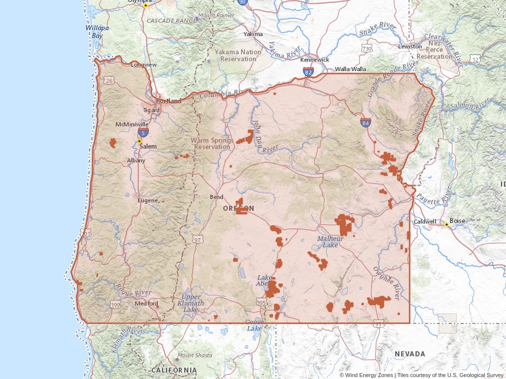
Oregon has 113 records of wind energy zones on public land managed by the Bureau of Land Management.
Quick Facts
- 113 records of wind energy zones on public land managed by the Bureau of Land Management.
- 10 authorized wind energy zones
- 1 expired wind energy zones
- 8 withdrawn wind energy zones
- 4 rejected wind energy zones
- 176 authorized wind energy acres
- 90 closed wind energy zones
Oregon Wind Farm Leases
Click to open an interactive map.
© Wind Energy Zones™
Recently Updated Wind Energy Zones
Most recently updated zones in Oregon.
Wind Energy Zones (BLM)
Oregon has 113 wind energy zones on public land listed in Wind Energy Zones™. Of these zones, 8.85% are authorized while 79.65% are now closed.
Quick BLM Facts
- 113 records of wind energy zones on public land managed by the Bureau of Land Management.
- 10 records of authorized wind energy zones
- 90 records of closed wind energy zones
- 8 records of withdrawn wind energy zones
- 1 record of expired wind energy zones
- 4 records of rejected wind energy zones
Popular Public Lands & Regions
in Oregon
Land TypeTotal ZonesPending ZonesClosed ZonesExpired ZonesCancelled ZonesWithdrawn ZonesRelinquished ZonesRejected ZonesPending Acres
Willamette National Forest
National Forests
3
0
0
0
0
0
0
0
0
Siskiyou National Forest
National Forests
2
0
0
0
0
0
0
0
0
Crooked River National Grassland
National Forests
1
0
0
0
0
0
0
0
0
Top Owners
in Oregon
CityStateCategoryInterest RelationshipTotal ZonesPending ZonesClosed Zones
Freres Lumber Inc.
Lyons
Oregon
Corporation
Holder
3
0
0
James & Mike Mast Enterprises
Reedsport
Oregon
Corporation
Holder
1
0
0
Plum Creek Timber Lands LP
Coos Bay
Oregon
Corporation
Holder
2
0
0
Ops Desert Wind LLC
Baker City
Oregon
Corporation
Applicant
22
0
18
Horizon Wind Energy NW IV LLC
Portland
Oregon
Corporation
Holder Or Billee
7
0
7
Popular Towns, Cities, Etc.
in Oregon
CountyStateTotal ZonesPending ZonesClosed ZonesExpired ZonesCancelled ZonesWithdrawn ZonesRelinquished ZonesRejected ZonesPending Acres
Brogan
Malheur
Oregon
16
0
12
1
0
2
0
0
0
Lime
Baker
Oregon
16
0
12
1
0
2
0
0
0
Huntington
Baker
Oregon
15
0
11
1
0
2
0
0
0
Jamieson
Malheur
Oregon
13
0
9
1
0
2
0
0
0
Plush
Lake
Oregon
13
0
13
0
0
0
0
0
0
Wind Energy Zone News From Wind Energy Zones™
Learn more about the Bureau of Land Management, Public Land Survey System, and wind energy zones.
-

Understanding Zone Ownership
We receive lots of emails from people who find their name or a relative’s name on our site and want to know if this means they have some right to the land listed under that name.
-
Understanding BLM Administrative Areas
Whether it is filing a zone or researching one, the administering BLM office is going to be the definitive source.
-
Understanding Location Data
Zone handled by the Bureau of Land Management are not mapped by latitude and longitude, instead, these zones harken back to the Public Land Survey System.
-
Understanding Townships
A “township” can refer to two different things. Both are part of the PLSS measurement system but have different uses.


