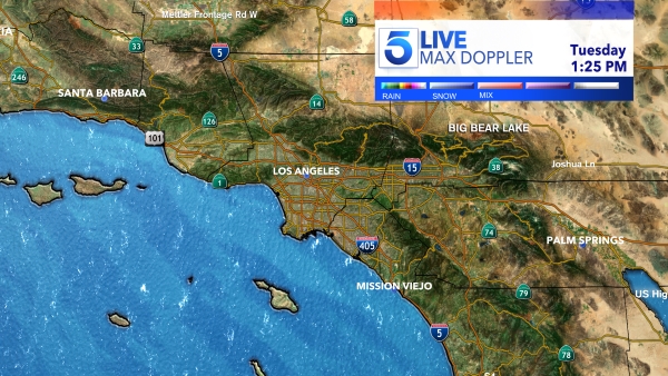
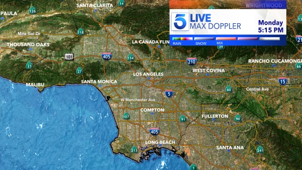
Around 12:50 p.m., a video tweeted out by the Los Angeles County Fire Department’s Air Operations showed snow falling in the Santa Monica Mountains above Malibu, at a level of approximately 1,500 feet.No need to panic Los Angeles — the LAPD is on snow watch. Plus, one flurry of #LASnow doesn’t equal “Snowmaggedon” pic.twitter.com/3uDUkSzWDD
— LAPD HQ (@LAPDHQ) February 21, 2019
In the nearby celebrity haven of Calabasas, actor Jerry O’Connell recorded video of himself as snow fell on his car and quickly melted. “It is snowing in Calabasas right now – crazy,” O’Connell said in a video he tweeted out .As of 1250hrs, snow is falling at the 1500’ level in the Santa Monica Mountains above Malibu, CA. Roads will be slippery. Please drive safely! #LAweather @NWSLosAngeles @CHPWestValley @CaltransDist7 pic.twitter.com/jrgxlGg4Vr
— LACoFireAirOps (@LACoFireAirOps) February 21, 2019
KTLA also received reports of snow from viewers in other areas near the Santa Monica Mountains, including Agoura Hills, Thousand Oaks and Simi Valley, as well as in Northridge, Eagle Rock and Pasadena. It wasn’t immediately clear whether all those sightings were snow, or if they were graupel or hail. Seeking to cut through the confusion, the National Weather Service took to Twitter Thursday afternoon to describe different types of precipitation. “If precip bounces it contains ice – call it sleet or small hail. If precip in flakes it’s snow, white balls are melted flakes called graupel,” the tweet read.Snowing in Calabasas! @RebeccaRomijn pic.twitter.com/GhoSVZc5WE
— Jerry O'Connell (@MrJerryOC) February 21, 2019
The white stuff arrived in Southern California with a very cold storm that added even more precipitation in a wet winter that has almost eliminated drought conditions statewide.Guess – where in LA is this? The Angeles National Forest? Baldy?
— Santa Monica Mtns (@SantaMonicaMtns) February 22, 2019
Nope.
The Sierras? Mount Whitney? The Cascades?
Try again.
Can you believe it snowed in the #santamonicamountains today! pic.twitter.com/hXaU7lPruS

