No snow in the forecast this week folks, no beast from the east either. It will be chilly for SE Britain with more sunshine, but for most it's mild and cloudy.
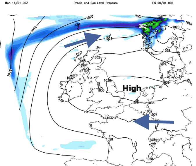
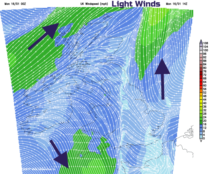
This week will bring more quiet weather. An elongate area of high pressure will extend from middle Europe towards the UK, resulting in plenty of cloudy, often dry weather. Winds look mostly light but where breaks do appear in the cloud over there will be a frost and fog could be a problem too. As the high is not further north over Scandinavia, we don’t expect a brute easterly feed of cold air, or any snow.
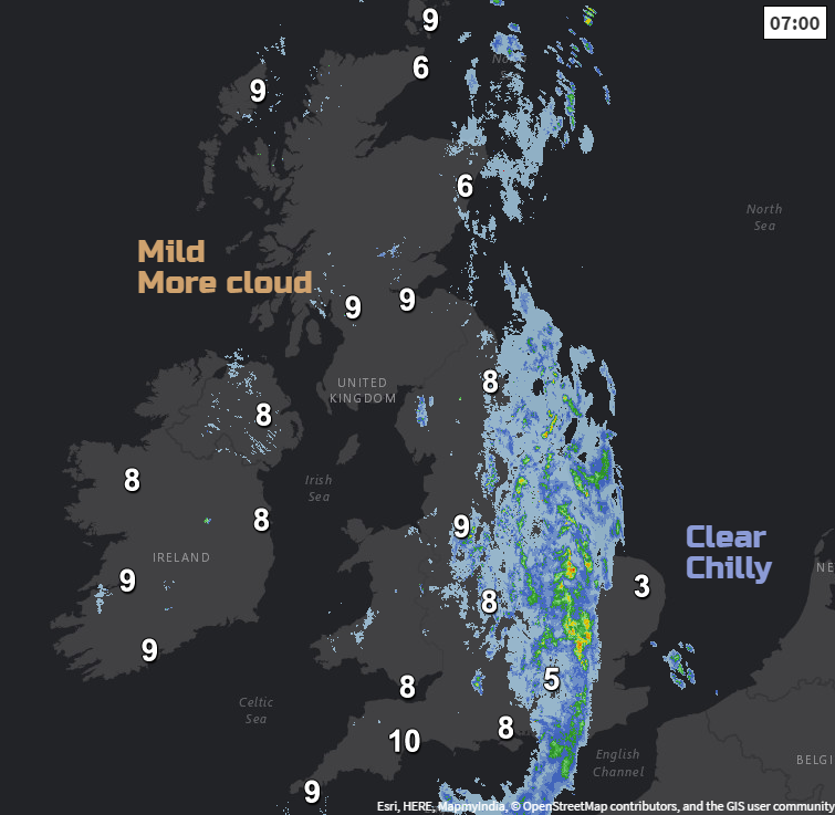
Today there is a weak weather front bringing rain. This line of rain is a boundary between the lingering cold clearer conditions with frost, currently still holding on over SE England & East Anglia and milder cloudy weather from the Atlantic. The rain band will drift away from eastern Scotland and NE England, clearing into the North Sea, but after a few moderate pulses this morning, it will ease through England this afternoon.
There should be sunny spells for East Anglia and Kent where temperatures remain low at 5C. For the rest of England, it will be a damp, dull day, milder in the west, cooler in the east. NE Scotland will also see sunshine today after the warm front clears away, 11C for the Moray coast. A cold front will edge towards NW Scotland bringing further outbreaks of rain across the Islands and NW Highlands later today. Northern Ireland keeps grey skies with a lot of cloud. There might be a few brighter spells as temperatures reach 10C. Wales will have cloudy skies, feeling damp inland but with temperatures into double figures.
Tonight
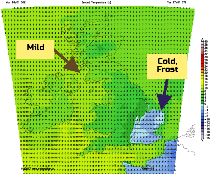
There will be a lot of cloud about tonight with damp weather for northern Britain. SE Britain will have clearer skies and so dipping temperatures. There will be a frost for East Anglia and SE England, it will be a nippy start for London on Tuesday.
Rest of the week
The high takes hold and our weather becomes settled and mostly dry. The cloud maybe thick enough at times to give some dampness to western areas and overall, it’s a grey picture. Chicks of brightness will come through the clouds at times, and SE Britain is more likely to see sunny spells in the first half of this week. These clearer skies do mean a sharp frost by night and any other breaks will allow night time temperatures to fall sharply. There could be some shifting in the wind direction from S/SW to easterly allowing brighter skies for western and SW Britain later this week but the frost will take hold by night. Fog may become more of a problem as the high just stagnates.