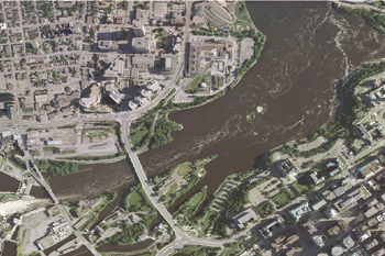
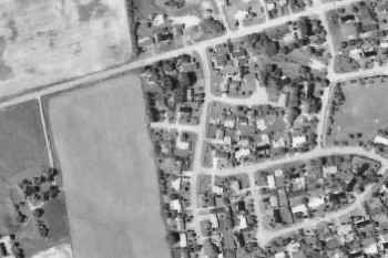
VuMAP is a feature-packed online mapping application with easy to use, built in tools to measure, draw, compare imagery year over year, and research property information. Enhance your customer service capabilities, reduce accrued costs and streamline your sales process by quoting customers quickly without making costly site visits.
Unlimited access to browse the entire, full quality collection of aerial imagery and geospatial data.
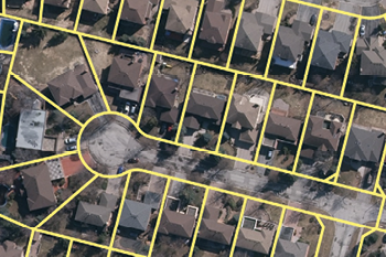
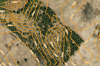
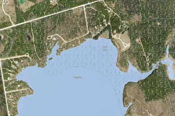
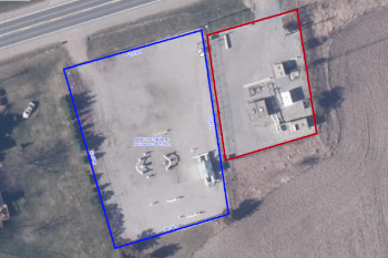
Research property information and query the complementary data layers for additional information.
Save drawings, measurements, annotations, and views to plan your project directly over the photo base layer.
Use insights gained from VuMAP to respond to customers and enhance your day to day productivity.
VuMap provides access to the most extensive high resolution aerial photo library in Ontario as well Teranet parcels including PIN, township layers and natural feature information. VuMap now allows users to manage their datasets using a administrative site making data sharing and collaboration easy.
If you have any questions about VuMap or would like to arrange a demonstration of the application please contact us at sales@firstbasesolutions. To sign up for a trial subscription click the Get Started link below. Please note that the Teranet Parcel layer is not include in the trial.
Get Started