Arizona has 42 records of wind energy zones on public land managed by the Bureau of Land Management.
Quick Facts
- 42 records of wind energy zones on public land managed by the Bureau of Land Management.
- 4 authorized wind energy zones
- 3 pending wind energy zones
- 45,340 authorized wind energy acres
- 92,207 pending wind energy acres
- 35 closed wind energy zones
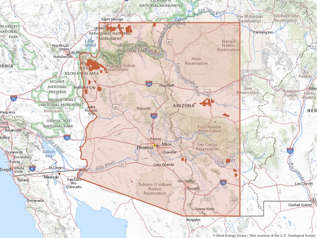
Arizona Wind Farm Leases
Click to open an interactive map.
© Wind Energy Zones™
Recently Updated Wind Energy Zones
Most recently updated zones in Arizona.
Wind Energy Zones (BLM)
Arizona has 42 wind energy zones on public land listed in Wind Energy Zones™. Of these zones, 9.52% are authorized while 83.33% are now closed.
Quick BLM Facts
- 42 records of wind energy zones on public land managed by the Bureau of Land Management.
- 4 records of authorized wind energy zones
- 3 records of pending wind energy zones
- 35 records of closed wind energy zones
Popular Public Lands & Regions
in Arizona
Land TypeTotal ZonesPending ZonesClosed ZonesExpired ZonesCancelled ZonesWithdrawn ZonesRelinquished ZonesRejected ZonesPending Acres
2012 Northern Arizona Mineral Withdrawal
Mineral Withdrawal
4
1
3
0
0
0
0
0
49,920
Fort Mojave Reservation
Indian Lands
1
1
0
0
0
0
0
0
42,286
Paiute Wilderness
Wilderness Areas
1
0
1
0
0
0
0
0
0
Warm Springs Wilderness
Wilderness Areas
1
1
0
0
0
0
0
0
42,286
Top Owners
in Arizona
CityStateCategoryInterest RelationshipTotal ZonesPending ZonesClosed Zones
Nextera Energy Renewables Holdings LLC
Juno Beach
Florida
Corporation
Billee
3
0
1
Mohave County Wind Farm LLC
Juno Beach
Florida
Corporation
Holder
4
0
3
Avangrid Renewables LLC
Portland
Oregon
Corporation
Holder
1
0
0
Five Star Energy Systems LLC
Beaumont
California
Corporation
Holder Or Billee
2
0
0
Pacific Wind Development LLC
Portland
Oregon
Corporation
Applicant
4
0
4
Popular Towns, Cities, Etc.
in Arizona
CountyStateTotal ZonesPending ZonesClosed ZonesExpired ZonesCancelled ZonesWithdrawn ZonesRelinquished ZonesRejected ZonesPending Acres
Dolan Springs
Mohave
Arizona
15
0
12
0
0
0
0
0
0
Katherine
Mohave
Arizona
13
1
12
0
0
0
0
0
42,286
White Hills
Mohave
Arizona
12
0
11
0
0
0
0
0
0
Meadview
Mohave
Arizona
11
0
10
0
0
0
0
0
0
Cibola
La Paz
Arizona
10
0
10
0
0
0
0
0
0
Wind Energy Zone News From Wind Energy Zones™
Learn more about the Bureau of Land Management, Public Land Survey System, and wind energy zones.
-

Understanding Zone Ownership
We receive lots of emails from people who find their name or a relative’s name on our site and want to know if this means they have some right to the land listed under that name.
-
Understanding BLM Administrative Areas
Whether it is filing a zone or researching one, the administering BLM office is going to be the definitive source.
-
Understanding Location Data
Zone handled by the Bureau of Land Management are not mapped by latitude and longitude, instead, these zones harken back to the Public Land Survey System.
-
Understanding Townships
A “township” can refer to two different things. Both are part of the PLSS measurement system but have different uses.


