96L fighting to become Tropical Storm Earl in the Atlantic
Meteorologist, PhD
Thursday, July 28, 2016, 1:56 PM - As of Thursday morning, 96L sits across the Atlantic off the coast of Guinea and is being monitored for potential development.
It is the first African tropical wave to become an invest in the Atlantic this season and although computer models disagree on how it will evolve, some are anticipating it could develop into a Tropical Depression as it tracks west during the coming days.
96L structure and potential development
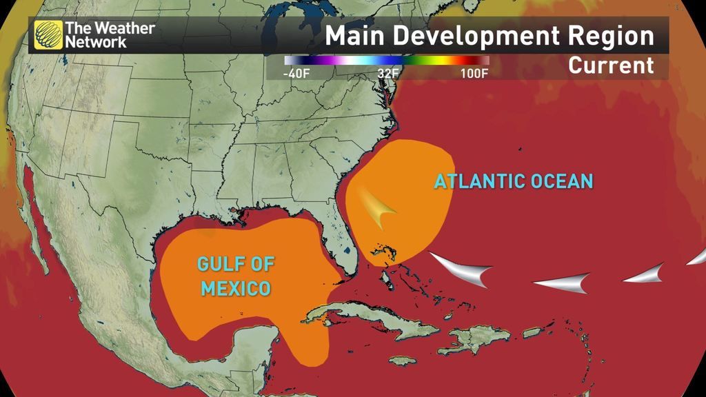
If early season predictions are on track, from now until late September, we should be seeing a lot more storm action over the warm Atlantic waters. Today, 96L is still trying to organize into a more potent storm, and as thunderstorms around the low pressure centre develop, during the next 48 hours we might start seeing some type of organized circulation.

Ocean temperatures underlying the weather disturbance are close to 28oC, slightly above average, so energy potential is high, but wind shear in the region during the past 24 hours has been strong enough to keep the system from further development.
According to the latest National Hurricane Center forecast, 96L has a low 30 per cent chance of developing into a tropical system over the next 48 hours, and a 40 per cent chance of doing so over the next five days.
Watch below: Saharan Air Layer (Thursday)
This coming weekend could be the big test for 96L as it moves west over cooler waters and encounters stronger wind shear along with drier air advection from the Sahara Desert. How strong and dominant these atmospheric ingredients become will play a major role in the development of what is now an unorganized cluster of thunderstorms, into a major system.
An up and down season
After a frantic start of the season, with Alex, Bonnie and Colin forming by early June, the most on record so early, the rest of June and all of July has been very quiet.
Despite the continuous warming of the Atlantic over this period, strong easterly winds moving into the region from the African continent have contributed to a less favorable environment for storm development. Dry dusty air from the Sahara (SAL), together with higher than usual wind shear conditions have certainly lowered atmospheric instability conditions.
Watch below: Animation shows dust transport over the Atlantic (courtesy: NASA)
Regardless of the ups and downs the 2016 season is experiencing, forecasters are still expecting it to be slightly above average. Normally, by this time of year we should have two named storms and no hurricanes, but we have already seen four named storms and one hurricane.
We are now approaching the most active part of the season which normally starts around mid-August and as the Atlantic continues to warm, given that other favorable atmospheric conditions are in the region, the probability of storm formation and development should grow significantly.
For now, we will keep a close eye on the chance of 96L becoming Tropical Storm Earl in the coming days.


