IE 11 is not supported. For an optimal experience visit our site on another browser.
Image: BESTPIX - NASA's Operation IceBridge Maps Changes To Antartica's Ice Mass

Environment

NASA's Antarctic Flyover Reveals Melting Continent

NASA's airborne survey investigates how ice in Antarctica is responding to a changing climate.
/ 12 PHOTOS
Image: NASA's Operation IceBridge Maps Changes To Antartica's Ice Mass

The scale of Mario Tama's aerial views of Antarctica is at once stunning and humbling -- humanity can seem like an insignificant development in face of these endless landscapes. The paradox, though, is that as vast and overwhelming as the Antarctic may be, humans may be instrumental in the changes affecting it.

For the past eight years, NASA's Operation IceBridge has been tracking how polar ice is responding to climate change.

Scientists studying the data collected on the thickness and shape of Antarctic snow and ice believe that the West Antarctic Ice Sheet may be in irreversible decline.

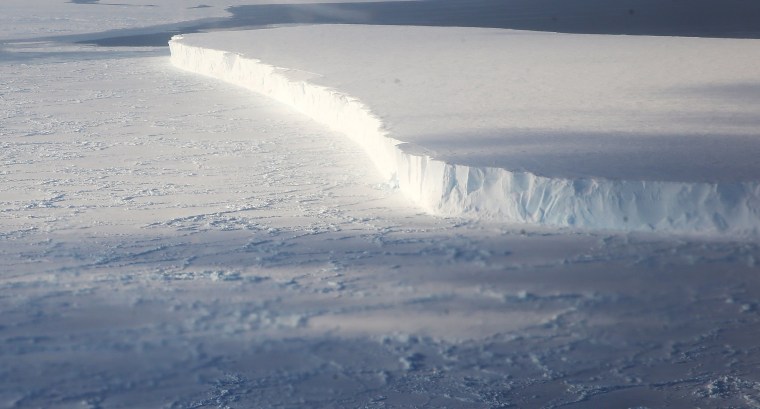
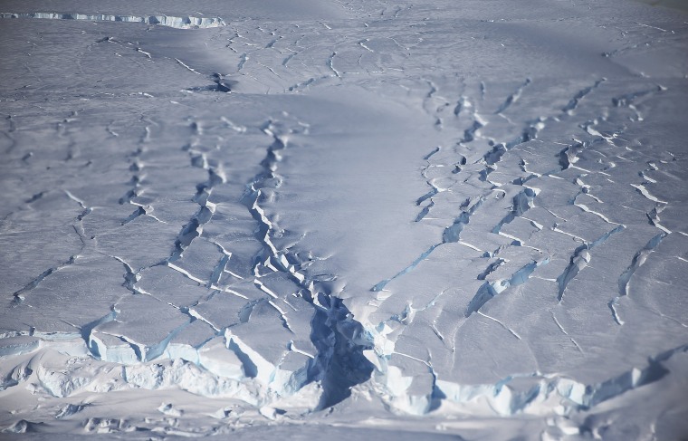
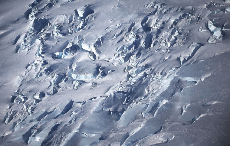
Above: A section of ice near the coast of West Antarctica is viewed from the window of a NASA Operation IceBridge airplane on Oct. 31, 2016. 


Mario Tama / Getty Images
Image: BESTPIX - NASA's Operation IceBridge Maps Changes To Antartica's Ice Mass

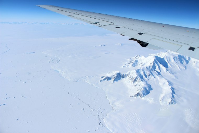
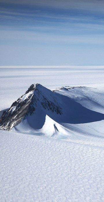
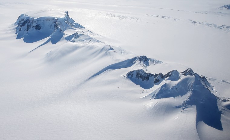
Mountains poke out from a section of the West Antarctic Ice Sheet on Oct. 28 during a NASA flight over Antarctica.

The IceBridge mission for Antarctica is based in Punta Arenas, a city at the southern tip of Chile. From there, IceBridge carries12-hour flights back and forth to Antarctica, covering most of the western section of the frozen continent. The region is experiencing the fastest changes and is Antarctica’s biggest contributor to sea level rise.
Mario Tama / Getty Images
Image: NASA's Operation IceBridge Maps Changes To Antartica's Ice Mass

NASA and University of California, Irvine (UCI) researchers have recently detected the speediest ongoing Western Antarctica glacial retreat rates ever observed.

Mario Tama / Getty Images
Image: NASA's Operation IceBridge Maps Changes To Antartica's Ice Mass

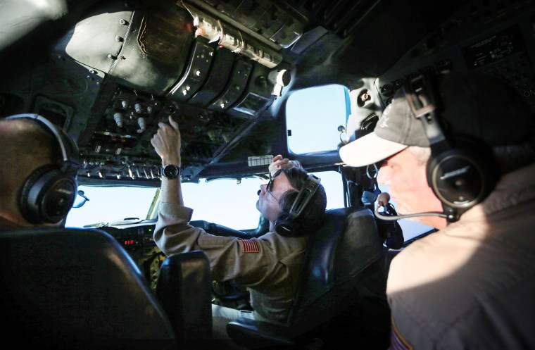
NASA aircrew members work inside the cockpit of an IceBridge DC-8 research airplane on Oct. 27 while in flight off the coast of Antarctica. 

Onboard the plane is a laser altimeter that records minute changes in the height of the ice surface from one year to the next. Accompanying the laser are three radars that analyze the elevation and layer composition of the snow and ice, as well as the shape of the land underneath. 

Mario Tama / Getty Images
Image: NASA's Operation IceBridge Maps Changes To Antartica's Ice Mass

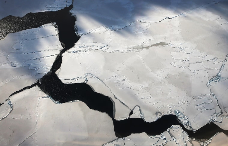
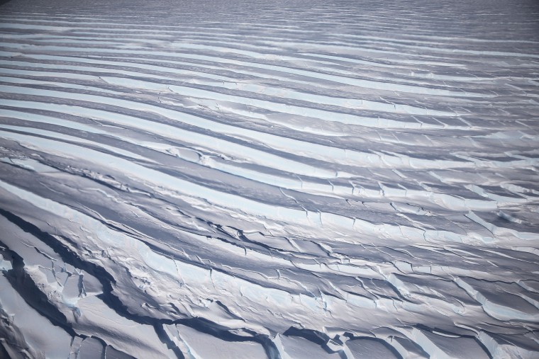
Ice crevasses near the coast of West Antarctica.

Mario Tama / Getty Images
Image: NASA's Operation IceBridge Maps Changes To Antartica's Ice Mass

Mountains rise from a section of the West Antarctic Ice Sheet. 

Mario Tama / Getty Images
Image: NASA's Operation IceBridge Maps Changes To Antartica's Ice Mass

IceBridge Project Scientist Nathan Kurtz looks out over ice near the coast of West Antarctica from an IceBridge airplane on Oct. 31.

Mario Tama / Getty Images
Image: NASA's Operation IceBridge Maps Changes To Antartica's Ice Mass

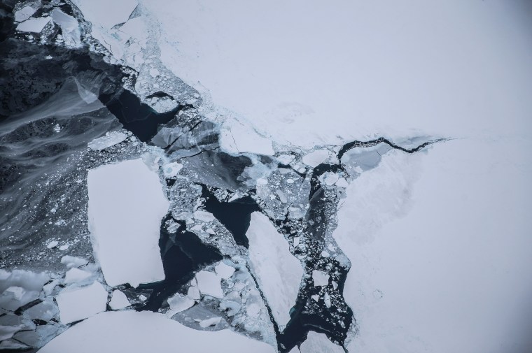
Ice floats near the coast of West Antarctica on Oct. 27.

Mario Tama / Getty Images
Image: NASA's Operation IceBridge Maps Changes To Antartica's Ice Mass

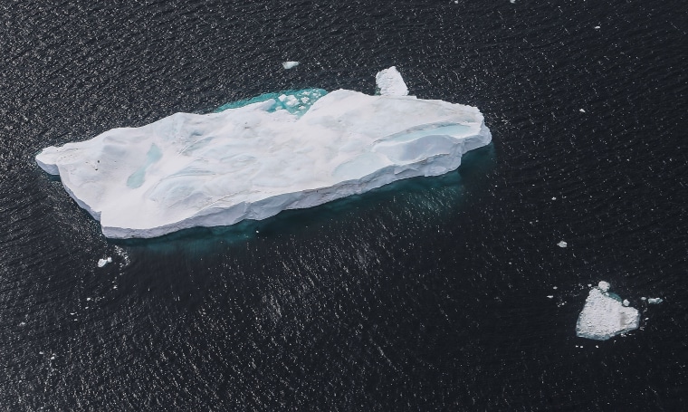
An iceberg floats near the coast of West Antarctica on Oct. 27.

Mario Tama / Getty Images
Image: NASA's Operation IceBridge Maps Changes To Antartica's Ice Mass

A tabular iceberg floats near the coast of West Antarctica on Oct. 27, 2016 in-flight over Antarctica. Tabular icebergs can measure many miles in length and are often formed after calving from ice shelves.

Mario Tama / Getty Images
Image: NASA's Operation IceBridge Maps Changes To Antartica's Ice Mass

Ice crevasses near the coast of West Antarctica.

Mario Tama / Getty Images
The mountains of northern Alexander Island in the Antarctic Peninsula pass under the wing of a DC-8 aircraft carrying Operation IceBridge?s scientists and instruments on Oct. 14.

The mountains of northern Alexander Island in the Antarctic Peninsula pass under the wing of a DC-8 aircraft carrying Operation IceBridge's scientists and instruments on Oct. 14.
PHOTOS: NASA Flyover Shows Arctic Ice in Retreat 

John Sonntag / NASA
1/12