Now tell me in plain English: how can Geographic Information Systems benefit my organisation?
There is a common criticism within the GIS industry that we don't explain the benefits of what we do well enough to non-GIS people.
I have been thinking about how we as an industry we can 'take a step back' and think about how we can use 'plain language' as a first way of engaging with people that don't know much about GIS. We can then determine more precisely which exactly which high level areas of GIS they are most interested in and extend this with case studies that are relevant to many branches of their operations, before finally attempting to show them the cool technology.
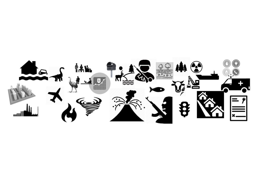
With this in mind I have put together a few thoughts on the main ways that GIS can assist the main branches of operations of most organisations in the image below. Maybe tools like this can be used in the 'first contact' with people that don't know much about GIS. What do you think?
Many commentators have said that GIS professionals and salespeople often make the mistake of talking to senior management or potential customers and start out with demonstrating some of the cool functionality that GIS is capable of, without understanding what the prospective organisation's needs are and relating the technology to how those needs will be satisfied by using GIS. Another common problem that GIS professionals have is that we often start talking in our own technical language that even other IT personnel don't understand, let alone non-technical decision making managers.
As an industry we have made some progress in addressing this by using material such as case studies to try to relate to one 'customer' industry at a time. We have also worked on specialised information and tools to suit individual industries (for example agriculture, defence or meteorology).
Recently a colleague of mine Duane Wilkins has been trying to work out methods of explaining GIS to people that don't know much about it. Duane is doing a great job in collecting a whole lot case studies and is relating those to ' business benefits statements' such as "improve efficiency" or "increase profits". I am excited to see what will be the outcome of a report that he is currently working on, however one concern that I have is that sometimes a case study about 'increasing profits' for an organisation working in industry X doesn't seem closely enough related for the manager of a company in industry Y.
Another factor that should be considered is that some organisations that are nominally in industry X actually have a lot of operations that sound more like industries Y, Z and Q. For example I have worked with many organisations that are nominally agricultural companies, therefore maybe they have an interest in agricultural tools in GIS. However many of these companies also own a lot of buildings: so maybe they would be just as interested (or sometimes more interested) in 'buildings and facilities management' GIS. However some 'agricultural' companies might have no buildings to manage but be more interested in transportation and logistics.
Another prime example of this is in the defence industry: although everyone imagines that defence organisations are all about weapons platforms and troop movements, but in reality the frontline is actually only part of what defence organisations need to do: it is one of the most common military errors to not plan sufficiently about supply-lines (i.e. logistics/transportation for supplies). Many armies throughout history have lost wars not because of fighting directly with the enemy, but through starvation or running out of ammunition. As Napoleon said: "an army marches on it's stomach". When I worked at the British MOD I realised that it is not just the number of submarines or tanks that you have that matters: it is all of the supporting infrastructure (I worked managing the defence facilities and estates).
The point to the last paragraph is that if we are trying to engage with senior management in defence and we only talk about weaponry support with them then we are not realising that they may also have problems that GIS could solve in other branches of their operations. The same concept goes for a lot of other organisations: for example NGOs that are helping civilians recover in war-zones need to know where affected civilians are, which is obvious to everyone: but NGOs often have complex supply lines that need to be managed also.
If you liked this then you might also like: Technology is finally waking up importance geography
Images from http://www.freepik.com/


GIS M&E
7yA great article that envisaged the need of GIS in all sectors.
Filipino Environmental Planner | CLUP, CDRA, CDP Assistance for Local Governments
7yShort answer: GIS gives your operation data on your chosen area.
Human Resources Benefits Specialist @ Esri
7ygreat article
Spatial Analytics - know more about your space and place
7yMaking sense.. thank you
Geospatial Data | Research & Innovation | Water and Green Space| Climate Change
7yGreat philosophic point Nathan Heazlewood. In a plain language- GIS is what you want to achieve in through spatial operations- sounds fit? :)